
The essentials in 30 seconds
- What happened: The Oregon Wine Board has started a statewide vineyard mapping project.
- Coverage: All 23 Oregon American Viticultural Areas, plus vineyards outside AVA boundaries.
- What you will see: A free, interactive 3D vineyard atlas with land, climate, and planting data.
- Timing: The public atlas is scheduled to launch in summer 2027. It is not available yet.
Oregon wine country is getting a new map, down to individual vineyard plantings. The Oregon Wine Board announced its Vineyard Atlas project on October 15, 2026, with Portland-based mapping firm Terranthro. The public version is planned for summer 2027, so this is a project launch rather than a newly opened consumer tool.
What the Oregon Vineyard Atlas will map
The Wine Board says the inventory will cover vineyards in all 23 of Oregon's American Viticultural Areas (AVAs) and plantings beyond those boundaries. Terranthro will use high-resolution aerial imagery, trace vineyard edges by hand, and check uncertain areas against street-level images or in the field. Growers and regional associations will help verify vineyard names.
Each mapped planting is expected to carry acreage, AVA, terrain, soil, climate, and a record of planting or removal going back to 2020. The public 3D atlas should let you explore those characteristics across Oregon's wine regions and compare individual vintages with longer climate patterns. The Wine Board plans updates every two years as new statewide aerial imagery becomes available.
What wine drinkers can use it for
For a bottle labeled Willamette Valley, the map could eventually show how one vineyard's slope, elevation, or soil differs from another. That would add geographic context to an AVA name. The map will not grade wine quality or tell you whether a bottle is worth its price. Those are separate judgments, and the atlas has yet to launch.
The project also includes a Grower Portal. Vineyards can be divided into blocks, with growers optionally supplying details such as variety and vine age. The Wine Board says public access will be free, while the full underlying database will have access restrictions. A consumer will be able to browse the map, but not download that full database.
When the map is expected
The Wine Board's timeline starts mapping in late 2026, with the Willamette Valley as an anticipated early focus. It expects field checks and added historical details during 2027, followed by the public atlas in the third quarter of that year. Those are planned milestones, not completed work. If you want background on a grape closely associated with Oregon, see our Pinot Noir guide.
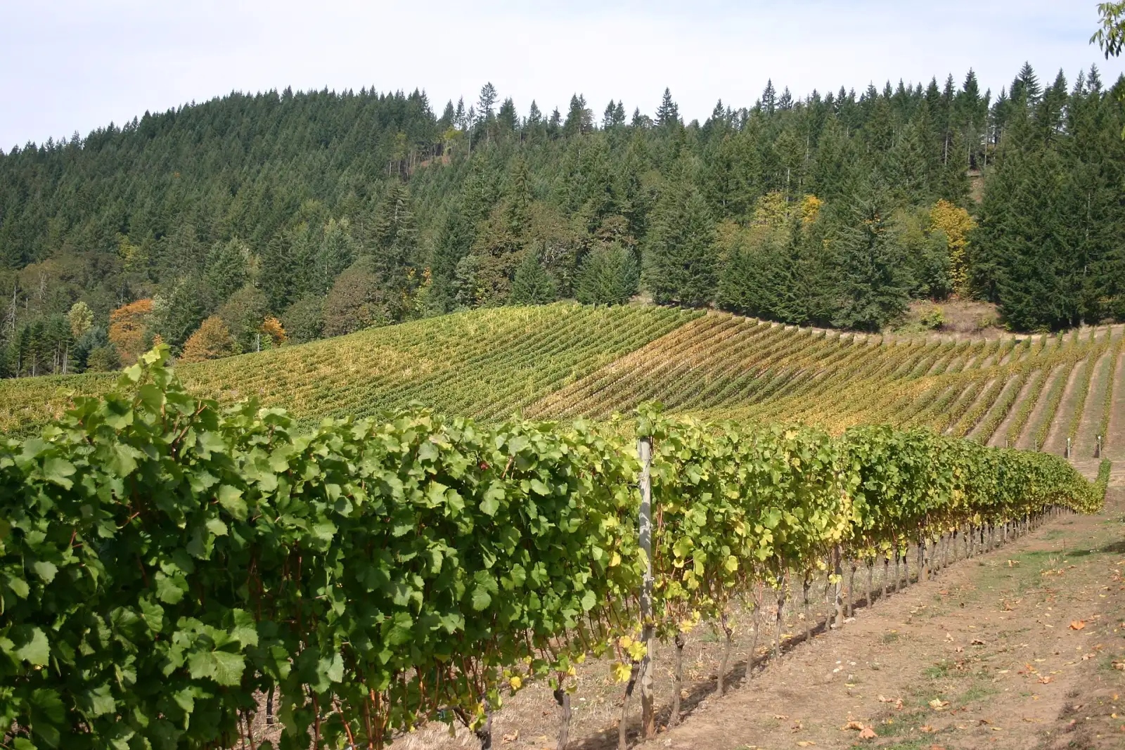
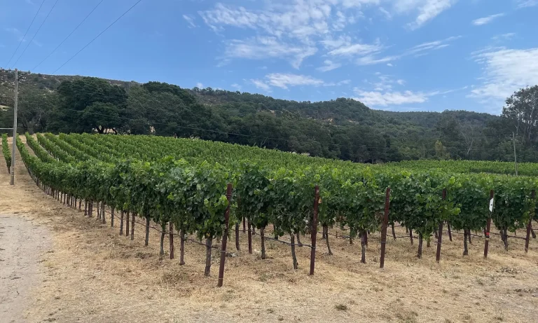
Photo: a vineyard in Oregon's Willamette Valley, photographed independently of the atlas project. David Burn, Wikimedia Commons, CC BY-SA 2.0. Sources: Oregon Wine Board, Vineyard Atlas project overview; Oregon Wine Board announcement, October 15, 2026. Checked on October 16, 2026.
Also worth reading
 Cabrillo College is first in California to give credit for WSET
 New York Bodegas Renew Push to Sell Wine in Stores
 Charleston Wine + Food 2027 Tickets Open for Wine Events
 Mount Vernon Fall Wine Festival Brings 20 Virginia Wineries, Oct. 9-11
 California 2026 Harvest Starts Early as Growers Report Lighter Crops
 Gundlach Bundschu, California's Oldest Family Winery, Files Chapter 11